A seven-year-old wants to "dig a hole to China." Show her exactly where she'd come out: (if this link doesn't give you the map, paste the address into your browser window) http://grad.icmc.usp.br/~cipriani/bighole.php . Watch rapid transit lines run and figure out the schedules (and maybe even things like average speed): http://www.mackers.com/projects
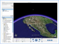
Google Maps (on-line for US, UK/IE, China, Canada, Japan, etc) and Google Earth (a free download) offer you all sorts of ways to involve students in personalizable education. (And imagine what these could be like on an interactive white board...) And the new "mash-up" craze of building Google Map overlays (like those above) gives you pre-created access to all kinds of expanded ideas. See http://googlemapsmania.blogspot
Oh, and tired of thinking about education? Find the nearest pub via http://beermapping.com/us
Post any links in your comments, let's expand this as a resource...
No comments:
Post a Comment